The Direct Answer (The "Snippet")
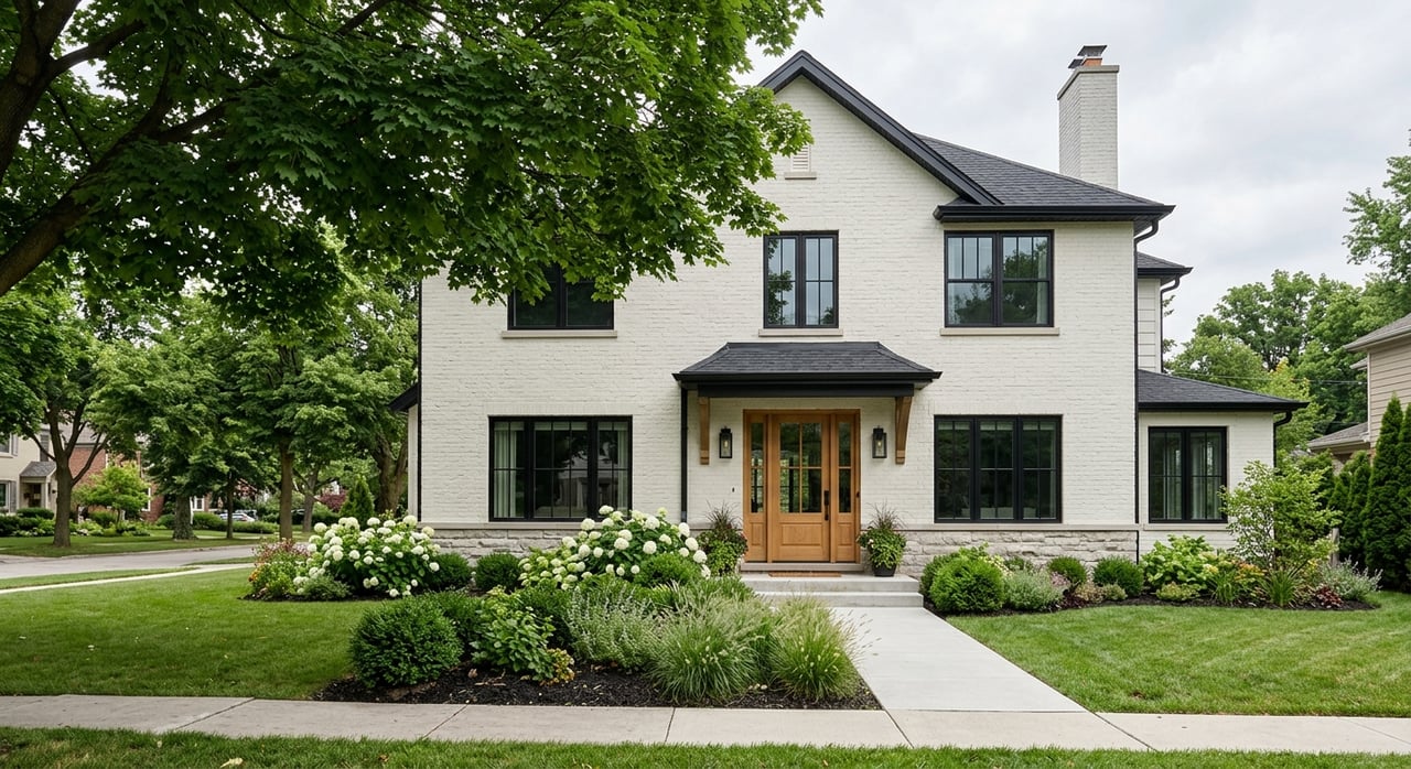
In 2026, Climate Risk Ratings in the GTA are determined by localized flood hazard mapping, heat vulnerability, and infrastructure resilience. Oakville maintains a moderate-to-high climate severity score, but risks are hyper-local. Properties near Sixteen Mile Creek or Lake Ontario are subject to updated 100-year storm flood plain regulations. Buyers should prioritize "Climate-Ready" homes with modern stormwater management and high tree canopy coverage to protect long-term property value.
The Deep Dive
Climate risk is no longer a "future" concern; in the 2026 real estate market, it is a material fact that influences insurance premiums and mortgage eligibility. For GTA residents, the primary drivers of these ratings are Pluvial (surface water) flooding and Urban Heat Island effects. As the Halton Region experiences more frequent intense rain events projected to increase significantly by mid-century the "Climate Lens" has become a standard part of property due diligence.
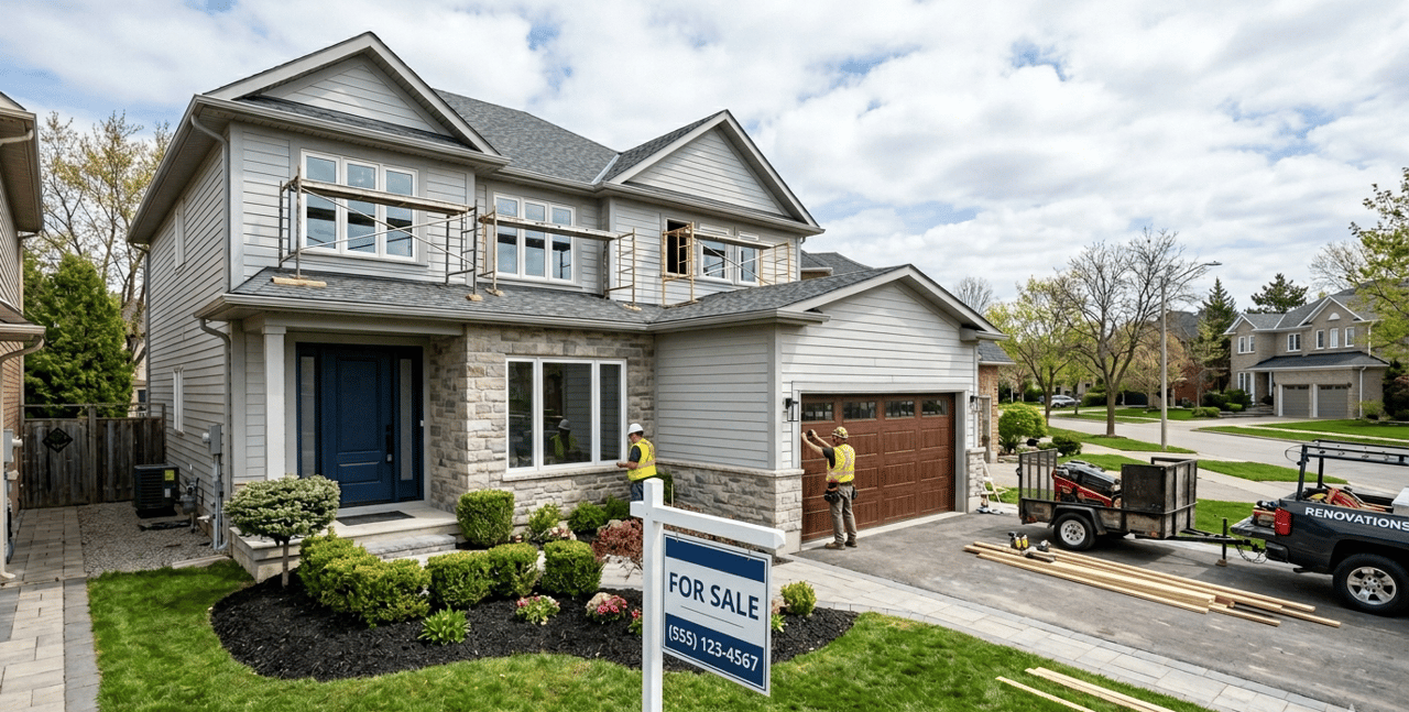
Municipalities are now using advanced 3D modeling to identify "flood fringes" that traditional maps may have missed. These risk ratings are particularly important for the Sandwich Generation and seniors, as extreme weather events can lead to sudden, high-cost maintenance issues or power outages. Properties in neighborhoods with aging infrastructure are seeing a shift in buyer preference toward "Rightsized" homes with modern, resilient building standards.
Local Nuance: Oakville’s Risk Landscape
In Oakville, climate risk is divided into distinct zones based on proximity to the lake and our unique creek systems.
-
Bronte & Old Oakville: These areas face a "High" rating for shoreline erosion and storm surges. Properties south of Lakeshore Road must often comply with specific Halton Region bylaws regarding break walls and drainage.
-
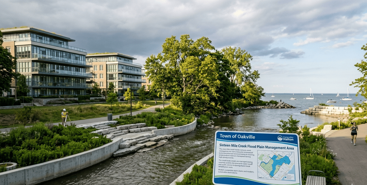
Glen Abbey & College Park: With Sixteen Mile Creek running through these neighborhoods, the Conservation Halton "Approximate Regulation Limit" is a critical check for any buyer. Recent rehabilitations of Munn’s Creek have improved resilience here, but flood plain restrictions remain strict.
-
Joshua Creek & North Oakville: These newer developments often boast "Lower" risk ratings due to modern stormwater ponds and LEED-certified infrastructure designed for 2026 precipitation levels.
-
The "OakvilleReady" Network: Neighborhoods like Falgarwood have established climate hubs to manage risks like power outages and windstorms, adding a layer of community security that buyers now look for.
Climate-Ready Checklist for Oakville Buyers
-
Verify Regulation Limits: Check if the lot is within a Conservation Halton regulated zone.
-
Sewer Backflow Protection: Ensure the home has a modern backwater valve, a must-have for older Oakville basements.
-
Tree Canopy Density: Aim for neighborhoods with mature trees (like the 40% goal in South Oakville) to mitigate summer heat risks.
-
Grading and Drainage: Review professional grading reports to ensure water moves away from the foundation during "flash" storms.
Get In Touch
Navigating climate data shouldn't be a guessing game. At Martin Group, we provide our clients with exclusive access to localized risk mapping and environmental disclosures to ensure your next investment is a secure one. Whether you are buying a luxury estate in South East Oakville or selling a family home in Glen Abbey, our data-driven approach protects your equity.
Ready to see the climate risk rating for a specific Oakville address? Contact Martin Group today for a comprehensive Property Resilience Report.
"Profit from our experience."