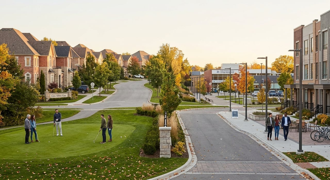
Most people who walk the creek path behind Nottinghill Park turn around at the same spot every time. The trail keeps going. It has kept going for as long as it's been mapped, west past a Third Line crossing most walkers never reach, into a park most Glen Abbey residents have never had reason to visit.
The Glen Abbey Trail, as the Ontario Trails Council catalogues it, starts at the eastern edge of the neighbourhood in Montrose Abbey Park, where it meets the Indian Ridge Trail. From there it runs north to Old Abbey Lane Park, follows the creek valley as it curves west, and reaches Nottinghill Park, where it crosses the Taplow Creek Trail. For a lot of daily walkers, that intersection is the whole route. It's the loop you do with a coffee, the stretch you know by its tree cover and its mud after rain. But the trail doesn't stop there. It continues west, crosses the McCraney Creek Trail, and reaches the eastern branch of Fourteen Mile Creek, where it splits again: one branch runs south down the valley back to Indian Ridge Trail, another continues north to Glen Abbey Gate, and the westward route carries on toward Third Line.
The stretch past Third Line that most walks never reach
Beyond that split, the trail crosses Third Line at Merchant's Gate, the same road that runs past the Sobeys plaza and the Glen Abbey Community Centre. On the far side, it splits once more. The north branch tracks the east branch of Fourteen Mile Creek. The west branch follows Merchant's Gate into Heritage Way Park and then feeds into a greenway link connecting to the Fourteen Mile Creek and Parkway Belt Lands, according to Ontario Nature Trails' route documentation.
That's a meaningful amount of connected ground. What reads on foot as a series of separate neighbourhood paths, the loop by your street, the cut-through near the plaza, the stretch behind the school, is actually one system with a single name, threading through six or seven named parks without repeating a block. The only reason it doesn't feel that way is that almost nobody walks it end to end. There's no obvious reason to, on any given morning, unless you already know where it comes out.
The Taplow Creek Trail runs its own branch from the same junction
The Nottinghill Park intersection isn't just where the Glen Abbey Trail happens to cross another path. It's the starting point for a second, separate system. The Taplow Creek Trail begins at Indian Ridge Trail, works up the valley to that same Nottinghill Park junction, and splits to follow either bank of the creek north to Pilgrim's Way. The east branch passes through Aldercrest Park before reaching the south side of Upper Middle Road, per the Ontario Trails Council's routing.
Taplow Creek Trail has its own character. AllTrails lists it as an easy 3.2-mile loop, popular with runners and mountain bikers, and recommends March through November as the best window to visit. That's a narrower season than the paved sections of the Glen Abbey Trail, which stay walkable through more of the year. If you've written off the creek path because it turned to mud one December, the trail itself isn't the problem. The calendar is.
A different creek, a different kind of walk, ten minutes away
Glen Abbey sits close enough to the Sixteen Mile Creek Trail Loop that the two systems get talked about interchangeably, even though they're not the same trail. The Sixteen Mile Creek runs alongside the golf course itself, and the loop trail proper is based out of Lions Valley Park, off Dundas Street. It's a different kind of walk: a 3.9-mile paved-and-singletrack loop through Carolinian forest, one of the northernmost stands of that forest type in Ontario, home to white-tailed deer, foxes, and beavers, with the creek itself serving as coldwater habitat for spawning trout and salmon.
It also carries something the Glen Abbey Trail doesn't: the Moccasin Trail, a marked Indigenous heritage path within the loop with thirteen plaques sharing the history of the land's original inhabitants, part of Oakville's broader heritage trail network. The loop is open year round, dog-friendly on leash, and busy enough with birders, runners, and cross-country skiers that solitude isn't really the draw. If the Glen Abbey Trail is the system you walk because it's there, the Sixteen Mile Creek Loop is the one you drive ten minutes for on a Saturday specifically to be somewhere else for an hour.
Where the walk actually ends up, if you let it
None of this is much use in the abstract. It matters because the trail crosses right past the places Glen Abbey residents already go. Merchant's Gate, where the western branch splits toward Heritage Way Park, sits a short walk from the Sobeys plaza at Third Line and Upper Middle Road West, home to Symposium Cafe, which has served the Glen Abbey community for more than 14 years out of that same plaza, right beside The Beer Store and a few minutes from the community centre. It's open 364 days a year, from eight in the morning until midnight, with one of the larger enclosed patios in Oakville, which makes it a reasonable place to end a longer walk in October when a bare patio isn't an option.
The other obvious detour is the golf course itself. Glen Abbey Golf Club's clubhouse restaurant runs a Sunday brunch that draws people who have never picked up a club, complete with a shuttle from the parking area and a dining room that looks straight out over the fairways. One reviewer put it plainly:
"Locals say it's the best Sunday brunch in Oakville and I happen to agree."
That's not a guaranteed year-round Sunday fixture, and it's worth calling ahead before building a whole route around it, but it's a real option sitting a few minutes from the trail's midpoint, not a hypothetical.
The map is bigger than the daily walk
None of this changes what Glen Abbey is day to day. It changes what's actually available without getting in a car. A resident who's walked the same Nottinghill Park loop for years has, without realizing it, been standing at the junction of two separate trail systems, one running east back toward Montrose Abbey Park and Indian Ridge Trail, the other running west through a Third Line crossing and into a park most people in the neighbourhood have never had a reason to see. The distance isn't the surprise. The fact that it's one continuous, named, mapped system, rather than a handful of disconnected neighbourhood cut-throughs, is.
Next time you're at that fork by the creek in Nottinghill Park, try the branch you usually skip. Heritage Way Park is closer than it looks on paper, and there's a patio at the far end of the walk with your name on a table if you time it right.
If you're curious what else is quietly connected in Glen Abbey, from school catchments to the streets that back onto the golf course, Martin Group keeps a close eye on the neighbourhood beyond the trail map too.