The Direct Answer (The "Snippet")
If your property borders one of Oakville’s many scenic waterways, development is governed by Conservation Halton (CH) under Ontario Regulation 41/24. Essentially, any construction, grading, or site alteration within a regulated "buffer" zone typically 15 to 30 metres from the stable top of bank or floodplain—requires a CH permit. These regulations prioritize flood prevention and erosion control to protect both your investment and the local ecosystem.
The Deep Dive
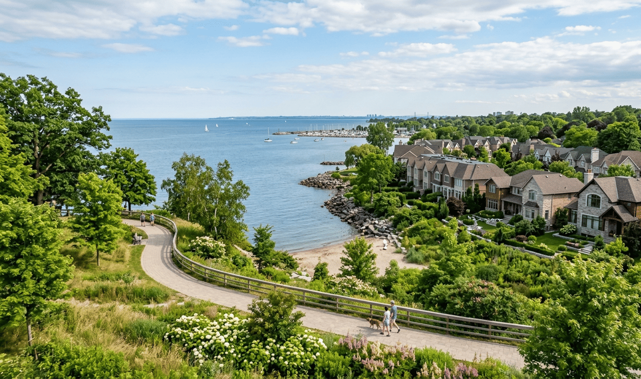
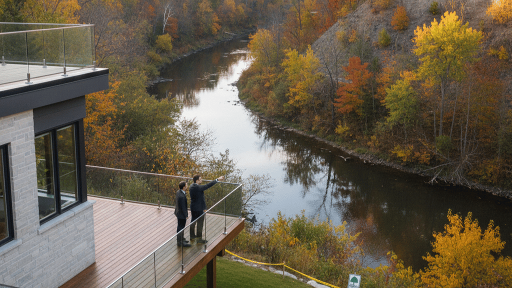
In Oakville, the proximity to Lake Ontario and our extensive creek systems means that natural hazards like flooding and slope instability are a primary concern for the Halton Region. Conservation Halton regulates these areas not to prevent enjoyment of your property, but to ensure that any changes be it a home addition, a new deck, or a simple garden shed—don't aggravate erosion or increase flood risks for you or your neighbours.
When you apply for a permit, CH staff assess the impact on the "control of flooding, erosion, dynamic beaches, pollution, or the conservation of land." For many Oakville homeowners, this means that even if the Town of Oakville approves your building permit, you cannot break ground until you have a separate permit from Conservation Halton. This dual-track approval process is a critical step in local real estate development that often catches DIY renovators and new buyers by surprise.
Local Nuance: Oakville’s Ravines and Waterways
Whether you are in the mature, lush ravines of Glen Abbey, the lakeside charm of Bronte, or the newer developments of Joshua Creek, specific setbacks apply. For instance, properties near Sixteen Mile Creek often face strict "Top of Bank" requirements due to the steep valley walls. In areas like Morrison Creek, updated flood hazard mapping may have recently changed the boundaries of what is considered a "regulated area," potentially impacting your ability to install a pool or extend a patio.
Key considerations for Oakville property owners include:
-
The 15-Metre Allowance: Most regulated areas include a standard 15-metre buffer from the edge of a hazard (like a floodplain or valley).
-
Permit Timelines: A standard permit review typically takes 30 to 90 days; however, complex projects near sensitive creek beds may require technical studies (e.g., geotechnical reports).
-
Non-Transferable Permits: Unlike some municipal approvals, CH permits are often tied to the applicant and may need re-issuance if the property changes hands during the project.
-
Regulated Features: This includes not just the water itself, but also meander belts, wetlands, and the Lake Ontario shoreline.
Get In Touch
Navigating the intersection of conservation policy and property rights requires a steady, experienced hand. Whether you are performing due diligence on a potential purchase or planning to maximize your current home's value through development, don't leave your investment to chance. Contact Martin Group today for a specialized consultation on Oakville's regulated lands.
"Profit from our experience."